
Our services
A Clearer View of Your Site
-
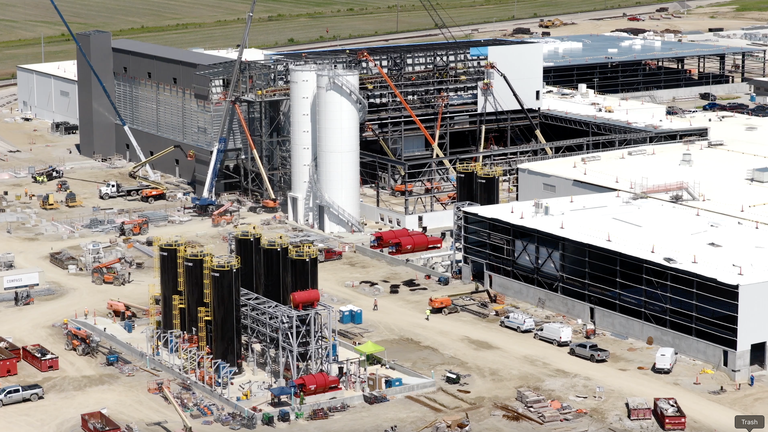
Repeatable aerial photography and video captured throughout the life of your project. We provide consistent visuals that help teams monitor progress, communicate with stakeholders, and maintain a reliable historical record.
-
High-resolution aerial maps that provide a clear, current view of the entire site. Our orthomosaic imagery supports planning, documentation, measurement, and project coordination.
-
Detailed aerial imagery of roofs, structures, façades, utilities, and hard-to-reach areas. Drone inspections help teams identify concerns while reducing time spent working at height or navigating hazardous areas.
-
Accurate aerial data used to calculate stockpile volumes and track material changes over time. Ideal for construction sites, aggregate operations, and material management.
-
Automated flight routes and fixed-position photography create consistent visuals from one visit to the next. This makes it easier to compare progress, produce time-lapse sequences, and maintain standardized documentation across multiple sites.
-
Professional aerial photography and 4K video for project updates, stakeholder presentations, websites, social media, and marketing campaigns.
-
Centralized drone documentation for companies managing multiple projects or locations. Origin coordinates scheduling, flight operations, quality control, file organization, and delivery through one dependable point of contact.